SOBREIRA FORMOSA
N 39.77117º; W 7.85107º
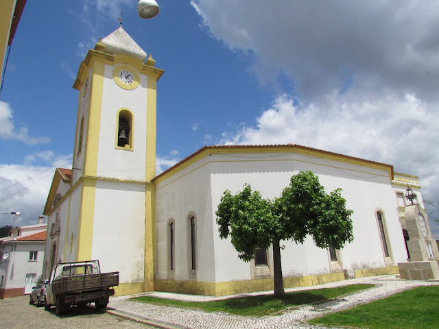
Sobreira Formosa is a village and an old Portuguese parish in the municipality of Proença-a-Nova, with an area of 85.01 km² and 1,708 inhabitants (2011). Its population density is 20.1 inhabitants/km². It is located 11km from the county seat, Proença-a-Nova and 39km from the district capital Castelo Branco, the second closest city is Abrantes at approximately 60km. Due to the last administrative reorganization of the territory of the parishes, this parish together with the parish of Alvito da Beira began to form the Union of parishes of Sobreira Formosa and Alvito da Beira with headquarters in Sobreira Formosa.
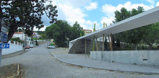
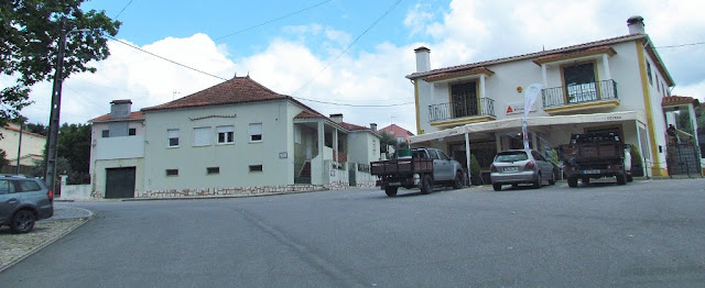
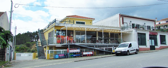
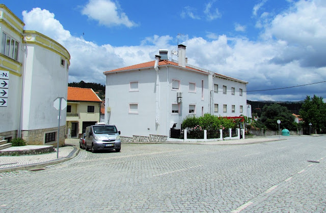
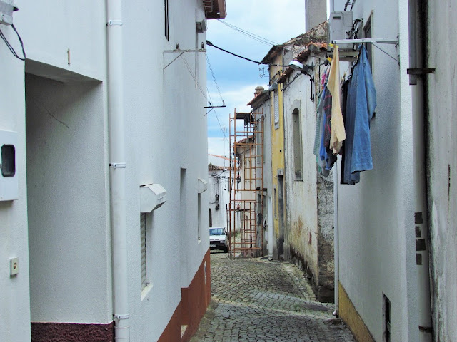
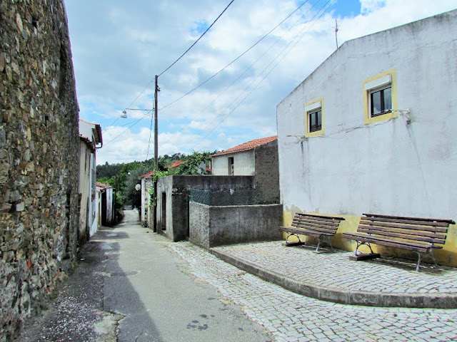
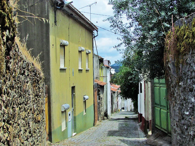
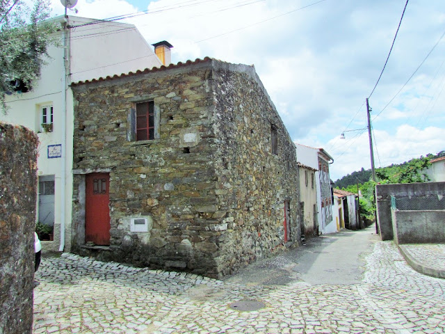
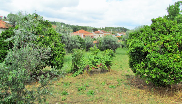
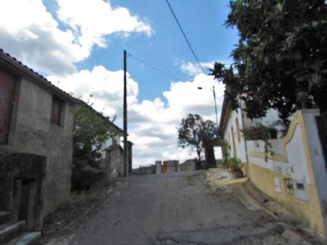
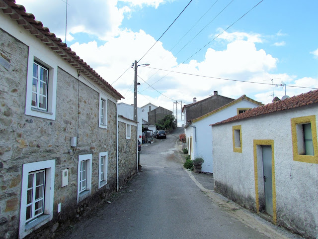
The outsider is surprised to come across Sobreira Formosa, isolated in the middle of the valley, in a cluster of houses that touch and blend together, overlooking narrow and winding streets, equally old.
The population is large, without the traces of evidence from other times being lost. Even those who are not familiar with the town's historical past will immediately notice that today's town stands out and cannot have stopped being one of the region's main centers.
It was the county seat for centuries, thanks to one of the first kings of Portugal. The dates, however, have been lost in time and the few documents that refer to them lack clarity, creating more confusion than certainty. The municipality was suppressed in 1855.
Origins
The former municipality of Vila Nova, and current parish of Sobreira Formosa, was the land of a bastard of D. Sancho I, certainly by paternal donation. This princess was D. Constança Sanches, who granted the charter, in 1222, to what is believed to be the prior of S. Gregório. This charter contains provisions of great importance in the study of medieval society. Still in the aforementioned document, D. Constança states that the churches in the municipality should belong to the bishop of Guarda, until his death and, afterwards, they would be left to whoever he saw fit.
It was also with the name Vila Nova that the town was granted Foral Novo, by D. Manuel I, on June 1, 1510.
The composite toponym Sobreira Formosa is derived from the Vulgar Latin suberatum, from “land of cork oaks” and “formoso” from the Latin formõsu.
Legend
Tradition justifies the toponym Sobreira Formosa with a legend, according to which, next to a Cork Oak, enjoying its shadow, there were, one day, whimsically spinning, with their delicate hands, three beautiful girls, laughing and happy. Dedicating themselves to this task, they had been there for a few hours when another person passed by. He looked at them enchanted and, pointing to one of them, immediately said that she was beautiful. He repeated it and, beaming, they all spoke affectionate words to him, remaining, however, in the shade of the cork oak. The case became known, with the words “formosa” and “sobreira” being used again. This happened so much that, looking at the young spinner and the tree, the land that lived without a name began to be called Sobreira Formosa.
💓💓💓💓💓
SOBRAL FERNANDO
N 39.73443º; W 7.76392º
Sobral Fernando is a village in the parish of Sobreira Formosa, municipality of Proença-a-Nova and District of Castelo Branco with 43 inhabitants.
It is located at the foot of Serra das Talhadas, on the right bank of the Ocreza River, bordering the Municipality of Vila Velha de Ródão, in the village of Foz do Cobrão.
The village of Sobral Fernando, Proença -a-Nova, is located on a gentle slope at the foot of the Talhadas mountain range next to the Ocreza river. Here nature was generous in bringing together in a small territory countless places of rare natural beauty that deserve our contemplation, both from a geological and archaeological point of view.
Over millions of years, the Ocreza river excavated its deep bed, resulting in the notable geomonument "Portas do Almourão" and alluvial terraces were formed where fragments of quartz were deposited, giving rise to the so-called "Conheiras" (rolled pebbles) of Sla Velha and Barcadouro, places where the Romans two thousand years ago knew how to extract appreciable quantities of gold, and which the local inhabitants supported until the middle of the century. XX. The Romans knew how to dismantle the alluvial land that today surrounds the village, and with an ingenious system of canals they extracted the precious metal.
Thanks to a spring in the center of the riverbed, originating in the syncline of the quartzite crests of the Serra das Talhadas, mineral water flows next to the "Menina dos Medos" sculpture throughout the year, thus providing an important water and ecological resource for the site. .

💓💓💓💓💓
SEARCH IN ALPHABETICAL ORDER
IN THE DISTRICT OF CASTELO BRANCO
💓💓💓💓💓
Return to mainland Portugal &
the Azores and Madeira islands


