
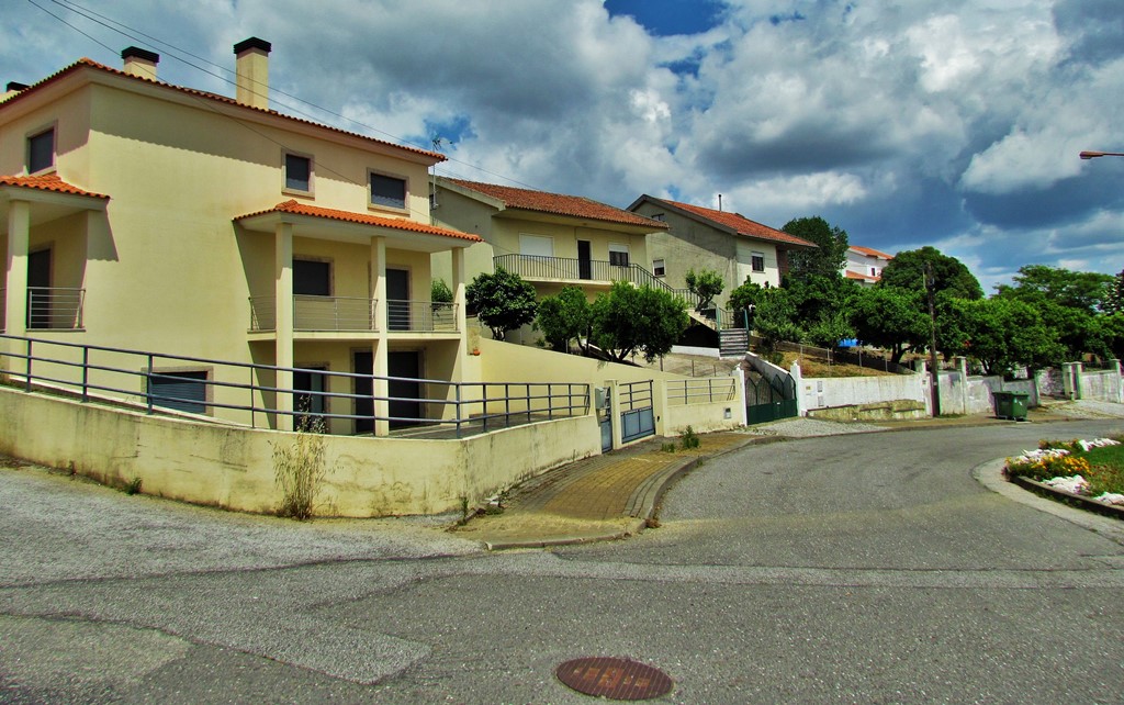
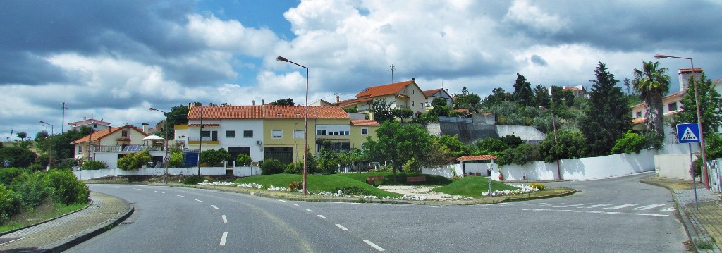
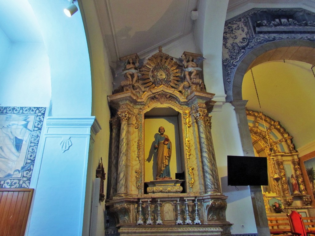
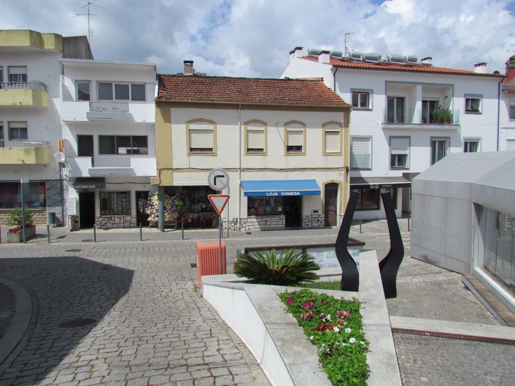
PROENÇA-A-NOVA
39° 45' 3.47" N; 7° 55' 28.92" W
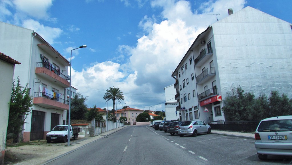
Proença-a-Nova is a Portuguese village belonging to the District of Castelo Branco, Centro region, sub-region of Pinhal Interior Sul and Diocese of Portalegre and Castelo Branco, with about 8 000 inhabitants.

It is the seat of the Municipality of Proença-a-Nova with an area of 395.40km² and 8,314 inhabitants (2011), divided into 4 parishes. The municipality is limited to the north by the municipality of Oleiros, to the northeast by Castelo Branco, to the east by Vila Velha de Ródão, to the southwest by Mação and to the northwest by Sertã.

Administratively, the municipality is divided into 4 civil parishes (freguesias)
Montes da Senhora
Proença-a-Nova e Peral
São Pedro do Esteval
Sobreira Formosa e Alvito da Beira
French invasions
The 19th century also brought to Proença-a-Nova the horrors of war with the French Invasions.
Napoleon's subjects arrived in 1807, commanded by the notorious Loison and, on their march towards Abrantes, they crossed Proença, destroying everything the poor residents had in their homes. They, warned, were hiding in the neighboring mounds, inaccessible and unknown. Even so, the barbarities committed by the French were such that, tens of years later, the people still remember it with horror.
Geography
Territory
Area: 395.4 Km2
Population Density (2005): 23.2 inhabitants/km2
Perimeter: 146 km
Maximum length - North-South: 34 km
Maximum length - East-West: 26 km
Maximum Altitude: 951 m
Minimum Altitude: 125 m


💓💓💓💓💓
SEARCH IN ALPHABETICAL ORDER
IN THE DISTRICT OF CASTELO BRANCO
💓💓💓💓💓
Return to mainland Portugal &
the Azores and Madeira islands

