ORVALHO (OLEIROS)
N 40.02311º; W 7.79099
Orvalho is a Portuguese parish in the municipality of Oleiros, with an area of 34.79 km² and 638 inhabitants (2021 census). Its population density is 18.3 inhabitants/km²
A number of places are part of this parish, including: Adgiraldo, Casas da Zebreira and Foz do Giraldo. The agglomeration spreads across a valley next to the Orvalho stream, highlighting the primitive nucleus where the Main Church is located and Largo Nossa Senhora de Fátima, where the Bell Tower is located.
Toponymy
It is assumed that the origin of its toponymy is the fact that this region is populated by lush pine forests and the village is surrounded by some water currents. This toponym may therefore be linked to certain vegetation typical of this soil, fed by the humidity that forms at night as the temperature cools.
Tourism
In Orvalho, the highlights are the Passadiços do Orvalho, the Miradouro do Mosqueiro and the Serra do Moradal.
The Mosqueiro viewpoint is a very interesting point from a scenic point of view. Also worth highlighting is the Água d´Alta Waterfall. With regard to the built heritage, the main altar of the Main Church should be mentioned.
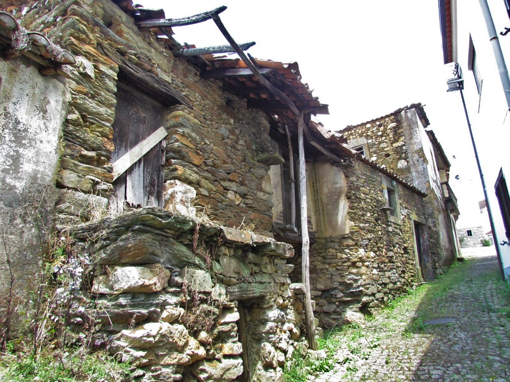
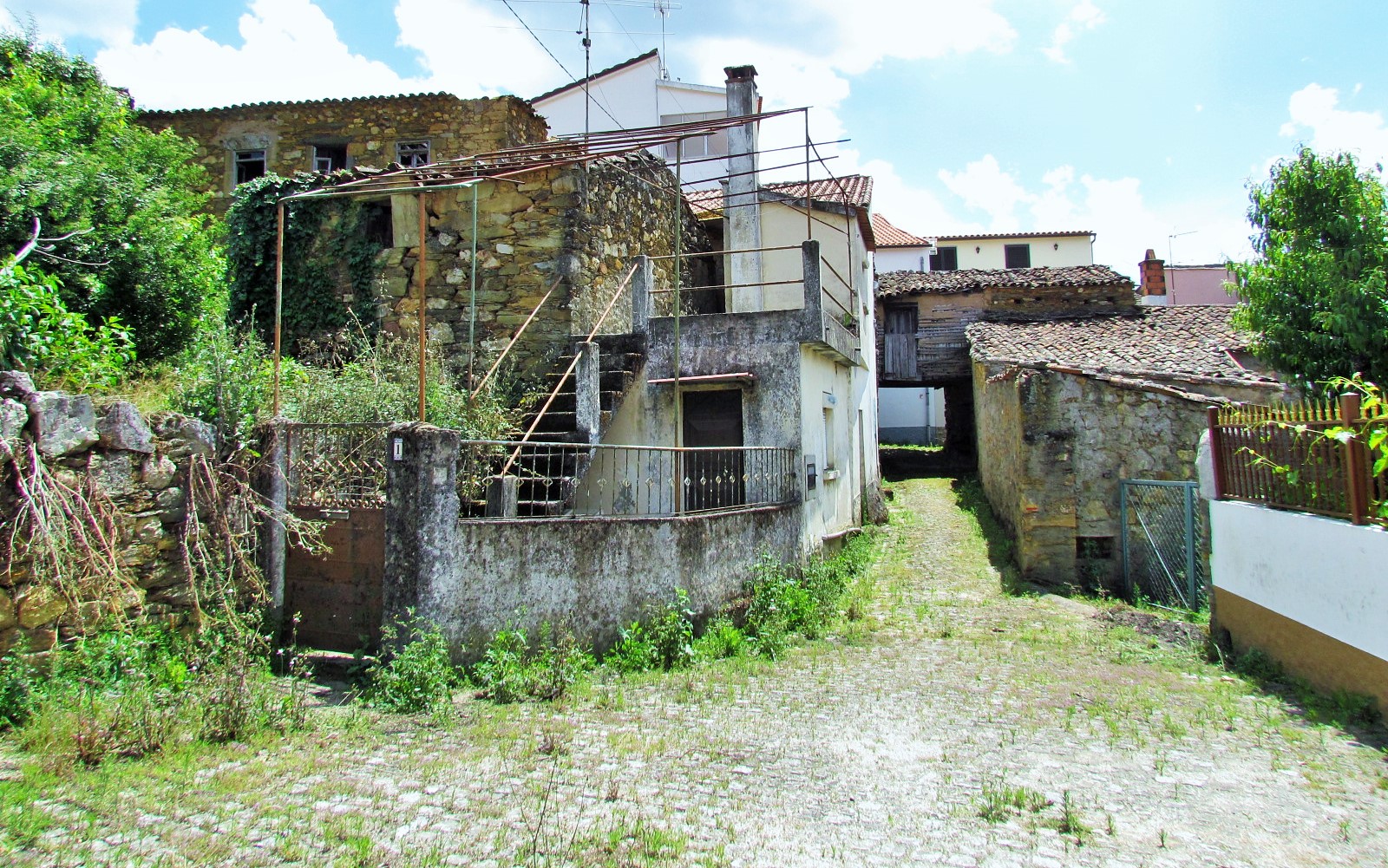
Patrimony
There is a strong tradition linked to linen in this parish, with its weavers being quite famous. In terms of heritage, the following stand out:
Cabeço Mosqueiro; Castro remains; Chapels of Nossa Senhora da Confiança, Nossa Senhora da Nazaré, Santa Teresinha, S. Sebastião and Santo António; Cruises (Cruzeiros); Roman bridge; Walled Head (Cabeça Murada)


https://campingoleiros.com/portal/en/home-2/