ALMACEDA
N 40.00711º; W 7.66173º
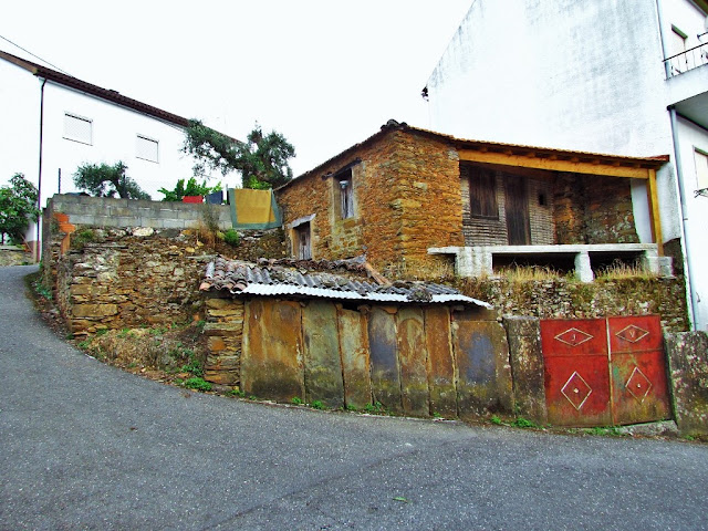
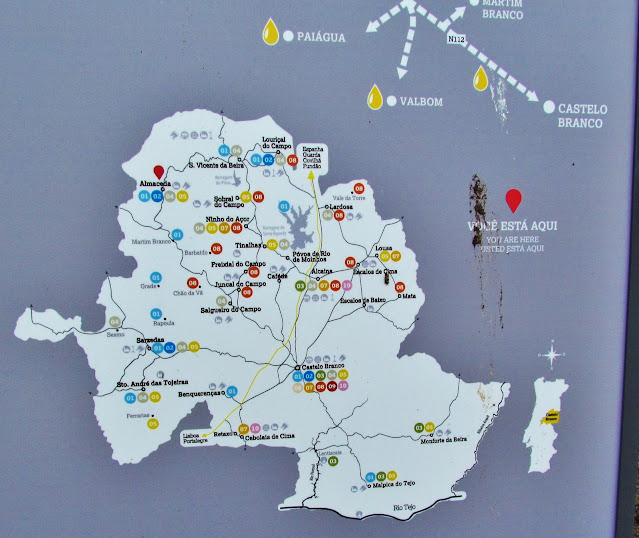
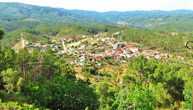
Almaceda is a Portuguese parish in the municipality of Castelo Branco, with an area of 72.19 km² and 511 inhabitants (2021 census). Its population density is 7.1 inhabitants/km².
It is 35 km from the municipality headquarters, in Castelo Branco.
Demography
From 1860 onwards, the parish began to register notable population growth and, during the following century, its inhabitants almost doubled. In the middle of this century, the direction was reversed, a fact that had to do with emigration abroad. Today, the trend of population loss has not yet been reversed.
Parish
The parish of Almaceda is made up of the following attached towns:
Ingarnal; Lameirinha; Martim Branco; Padrão; Paiágua; Ribeira de Eiras; Rochas de Baixo;
Rochas de Cima; Valbom
History
Several archaeological finds prove that the settlement of this parish began even before the Romans. Evidence is often found that this region has been populated since ancient times (funeral urns, huts, round cheese factories, remains of a Luso-Roman fort, Roman remains, an area dedicated to Evara,…). From the Mozarabic or Moorish period (levadas or canals, abandoned mines and great toponymic diversity). The levadas or canals for irrigating the fields and abandoned mines prove that the passage of the Moors through the parish brought important benefits to its inhabitants. With D. Sancho I, this entire vast region began to be populated. The charter granted to Sarzedas, at the end of the 12th century, also benefited this parish. Until 1846 Almaceda would belong, in administrative terms, to Sarzedas, passing until 1895 to São Vicente da Beira and, upon its extinction, to Castelo Branco.
Patrimony
Church of S. Sebastião (main church)
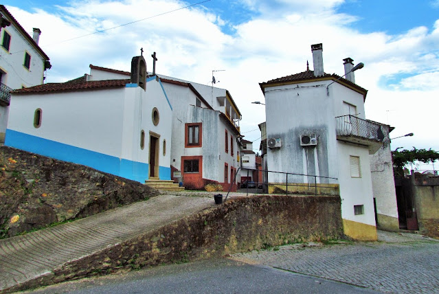
Chapel of the Holy Spirit
Chapel of Rochas de Baixo
Chapel of Rochas de Cima
Paiágua Chapel
Cruises
Community ovens
Roman remains
Cruzeiro Place
💓💓💓💓💓
SEARCH IN ALPHABETICAL ORDER
IN THE DISTRICT OF CASTELO BRANCO
💓💓💓💓💓
Return to mainland Portugal &
the Azores and Madeira islands








.JPG)


